Do Denk
Hike to the highest point in Carlsbad at Denk Mountain


In San Diego’s inland Carlsbad community a prominent peak beckons locals and visitors alike. Denk Mountain is the highest point in Carlsbad. At just over 1000 feet, Denk Mountain (named after a family who once owned most of the surrounding land) is hardly a “mountain” but the prominent nature of its apex provides a mountain-class panorama. Reach it via a 3.5-mile figure-eight loop that nets 800 feet of elevation.
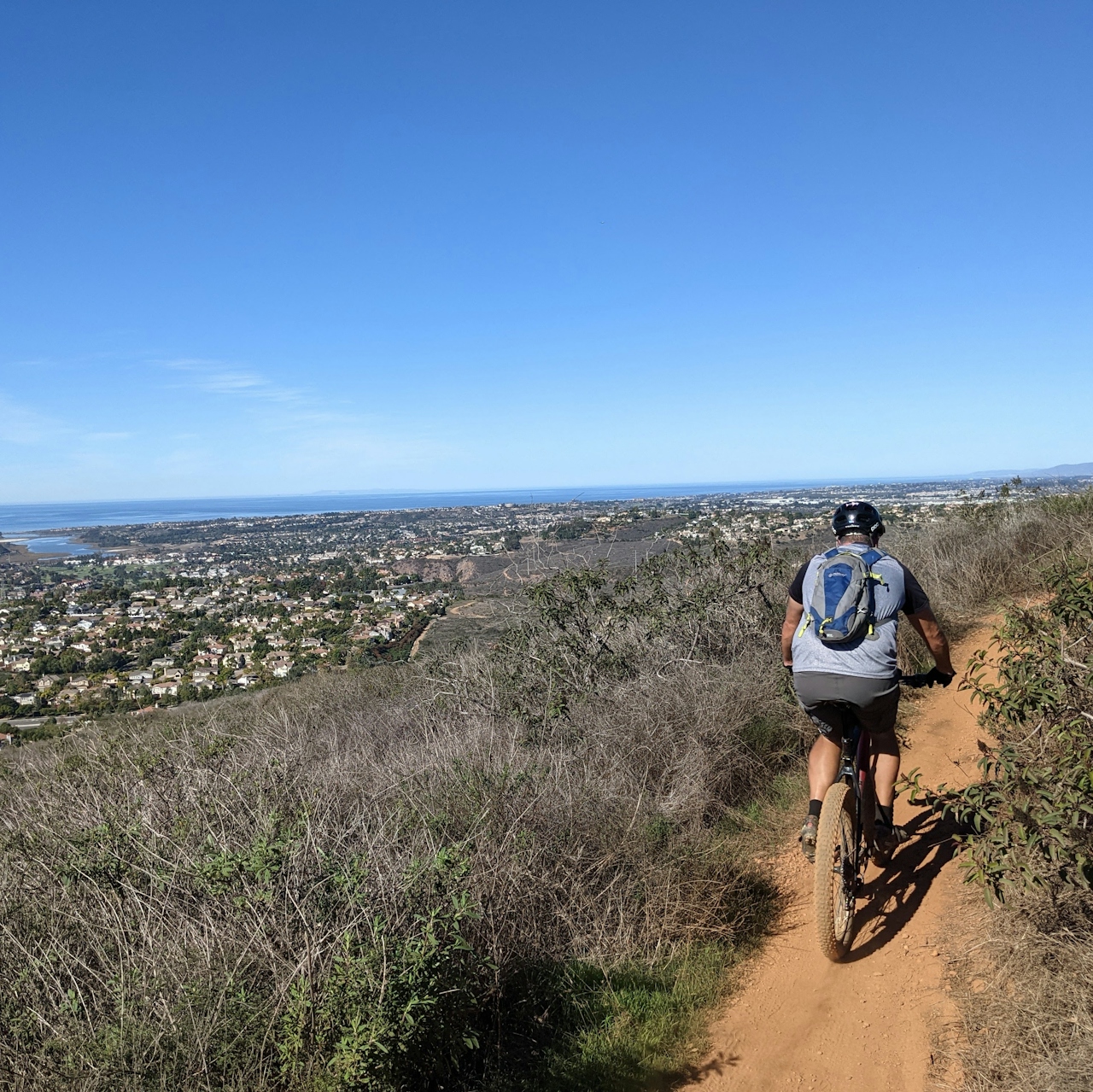
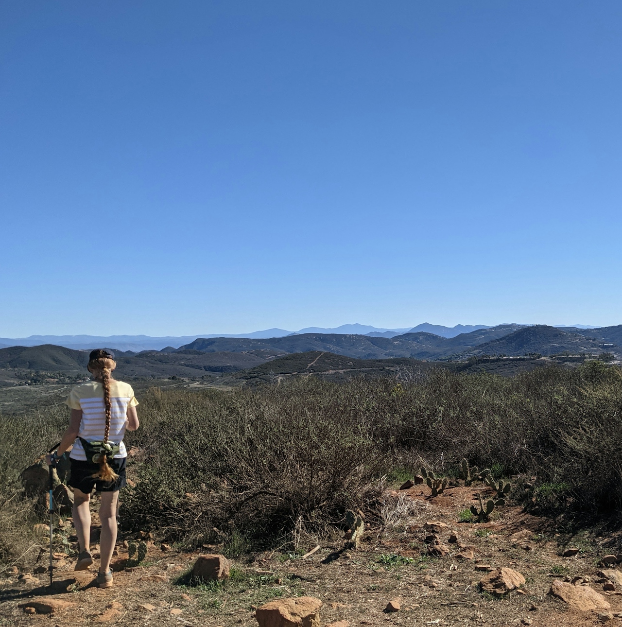
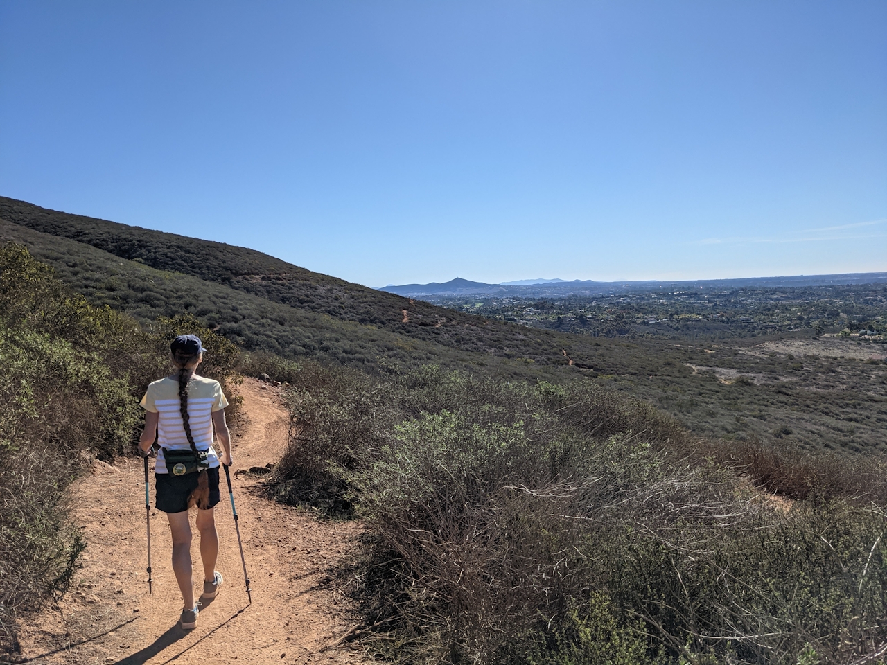
Find street parking at the intersection of Corte Romero and Camino Junipero in the La Costa neighborhood of Carlsbad. Then find the unassuming trailhead at the northeast corner, marked by signs for Rancho La Costa Habitat Conservation Area. Immediately cross a small footbridge with rules of the trail etched into the planks - hikers have right of way over the bikers who also enjoy this route. The switchbacks then begin and do not let up until you’re at the peak!
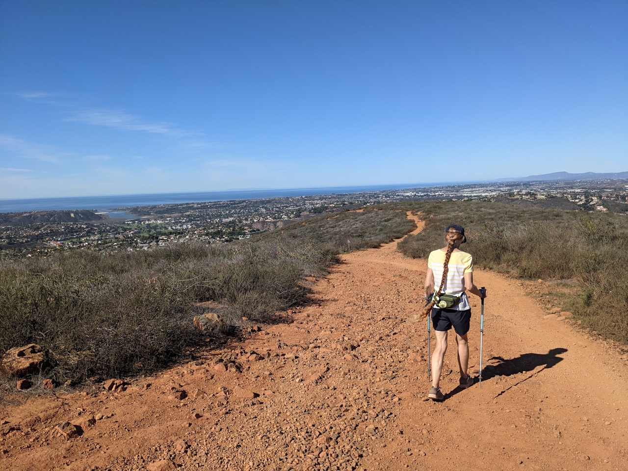
Ignore the first two spur trails (one connects to the Mule Deer and one deposits you at another suburban entrance to the reserve). After just over 1 mile of hiking through chaparral favorites like sagebrush, chamise, sumac and lemonade bush, you’ll reach a four-way intersection. For now continue straight onto the switchback trails, which eventually curves east past a eucalyptus-surrounded water tank (the Denk tank!) and connects with the other path leading to the summit.
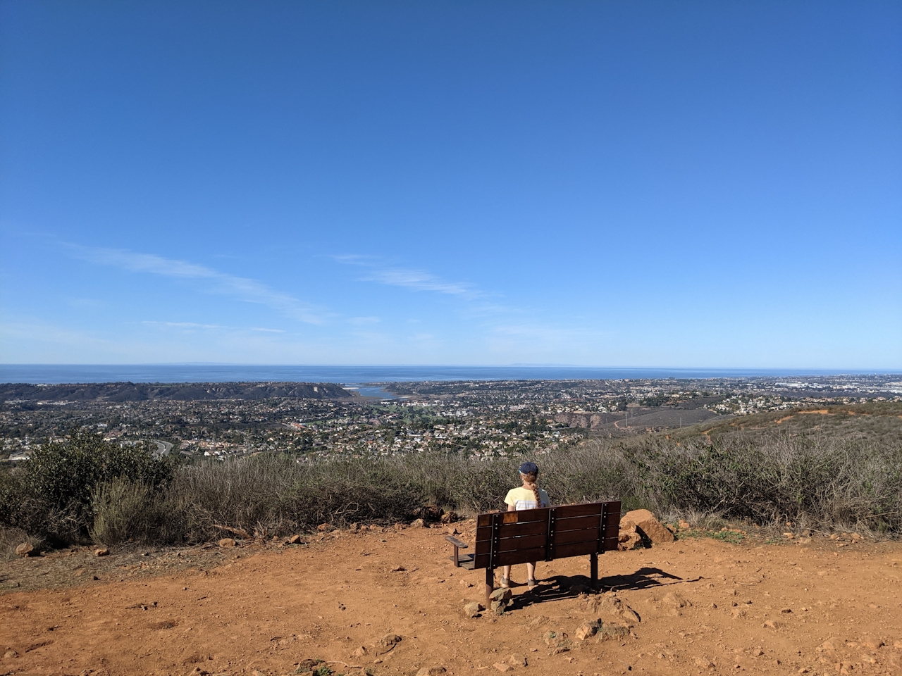
At the apex benches provide great rest points to take in the vistas from all directions: to the southeast, spy Mt. Woodson and Cuyamaca and to the north, check out Double Peak of neighboring San Marcos. Perhaps most impressively is the Batiquitos Lagoon feeding into the Pacific Ocean to the west; the coastal views stretch far beyond that though!
On your way down, take the left path of the fork. This is the Mule Deer Trail, which you will continue on at the aforementioned four-way junction. This eventually exits you at Sitio Salvia, a connecting neighborhood road. Walk along the sidewalk flanked by dense patches of aloe vera on the way back to the original trailhead and your car. Denk, done.
To get to the Denk Mountain trailhead, take the I-5 to the Leucadia Blvd. exit and head east. After 1.9 miles, Leucadia Blvd. turns into Olivenhain Rd. and after another mile continues straight onto Rancho Santa Fe Rd. After 1.9 miles, turn right onto Camino Junipero and park at the intersection with Corte Romero. Dog-friendly!







