High and Mighty in the East Bay
Hiking Oakland's Redwoods Regional Park


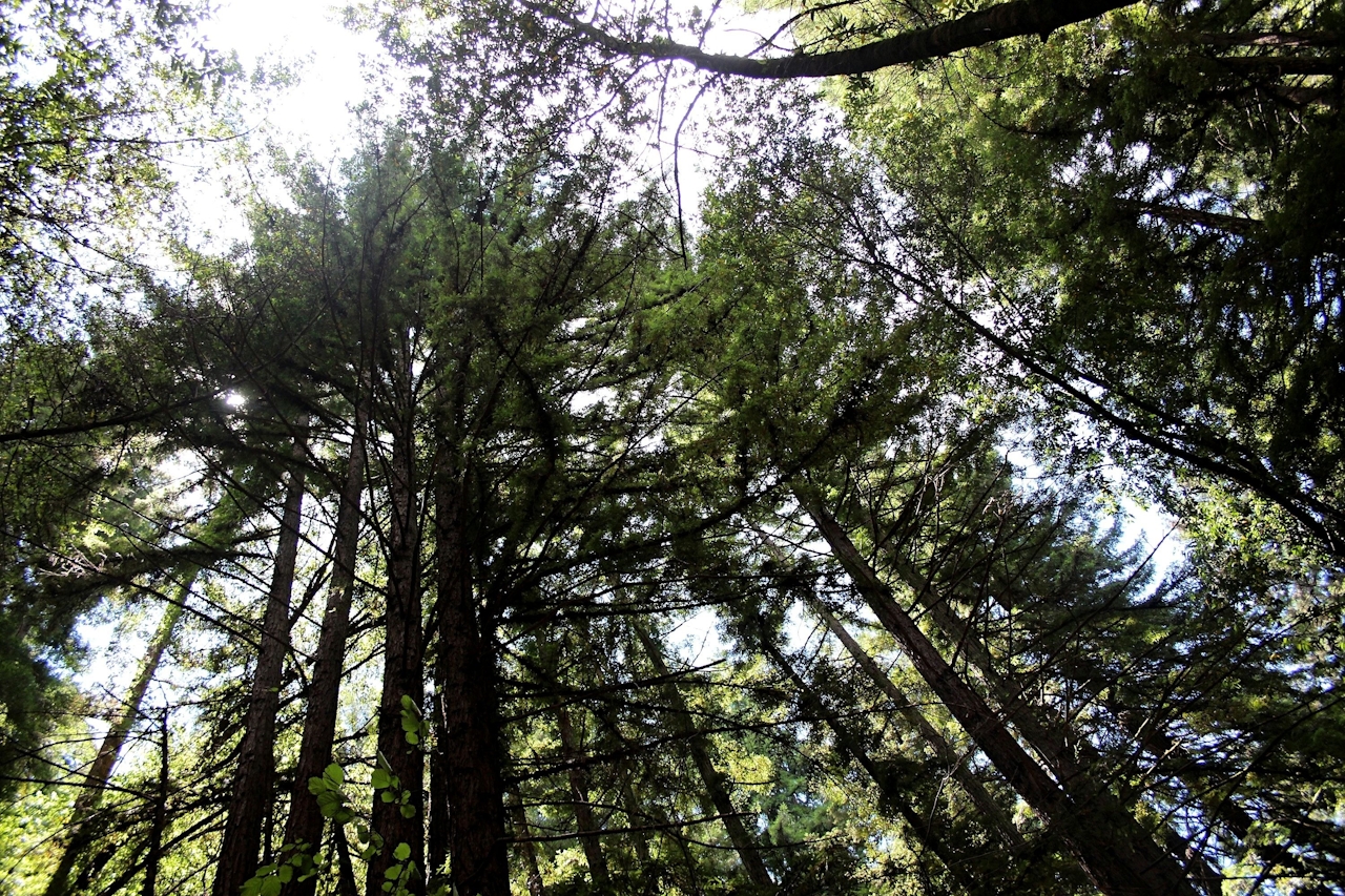
Tucked beyond Oakland’s bustling city streets is Dr. Aurelia Reinhardt Redwood Regional Park, a secluded escape of second-growth redwoods that’s treasured among locals for its canopied forest and dog-friendly trails. The 4.8-mile loop that links Stream, Fern, and West Ridge Trails is a terrific way to experience the park’s highlights, taking you through a thicket of madrones, coyote brush, and oaks during your first stretch, followed by beautifully serene redwood groves and a scenic open ridge for your second stretch.
Find the trailhead at the Skyline Gate Staging Area, and begin hiking on Stream Trail, a wide dirt trail leading into a canopy of cover underneath colossal redwoods. Along your path, you’ll pass several camping and picnicking sites. At the junction for Fern Trail, turn right and follow it for about half a mile.
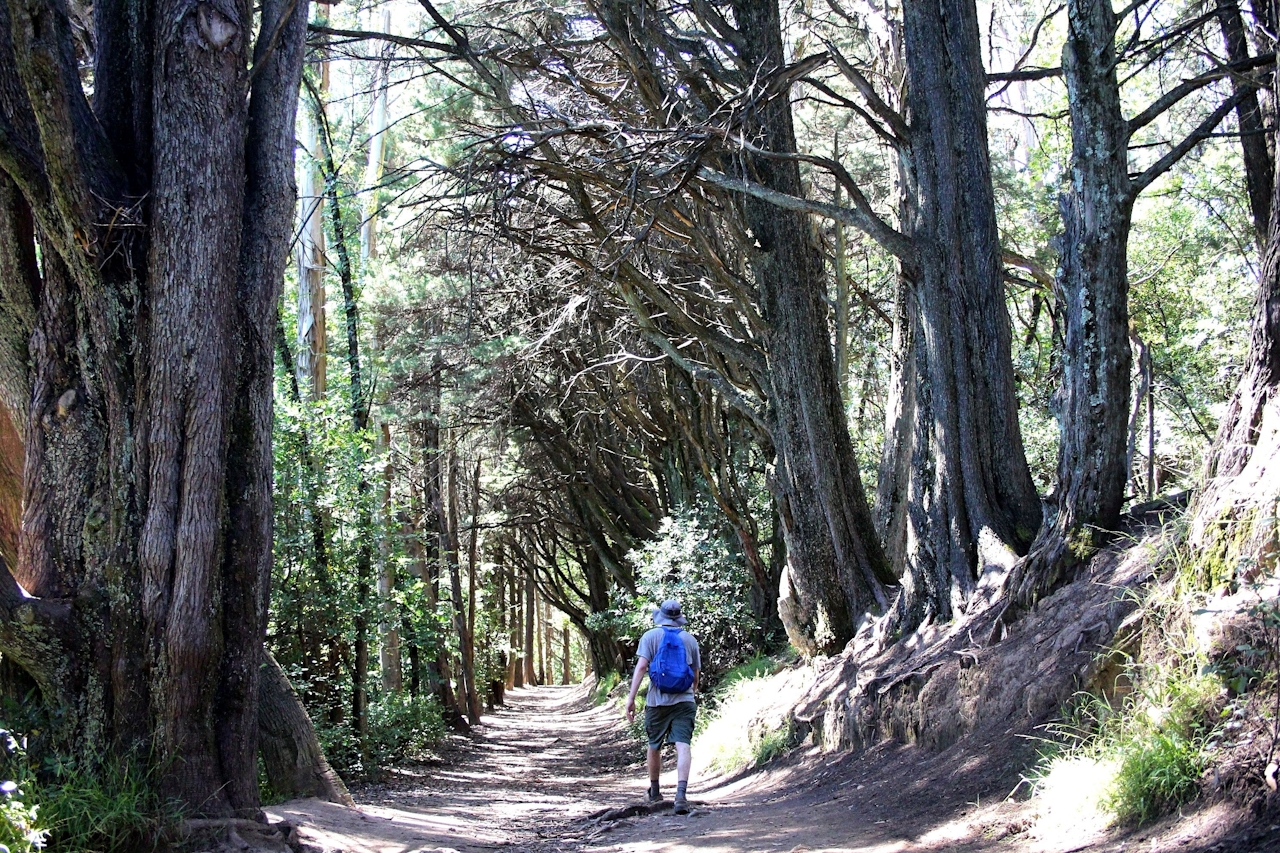
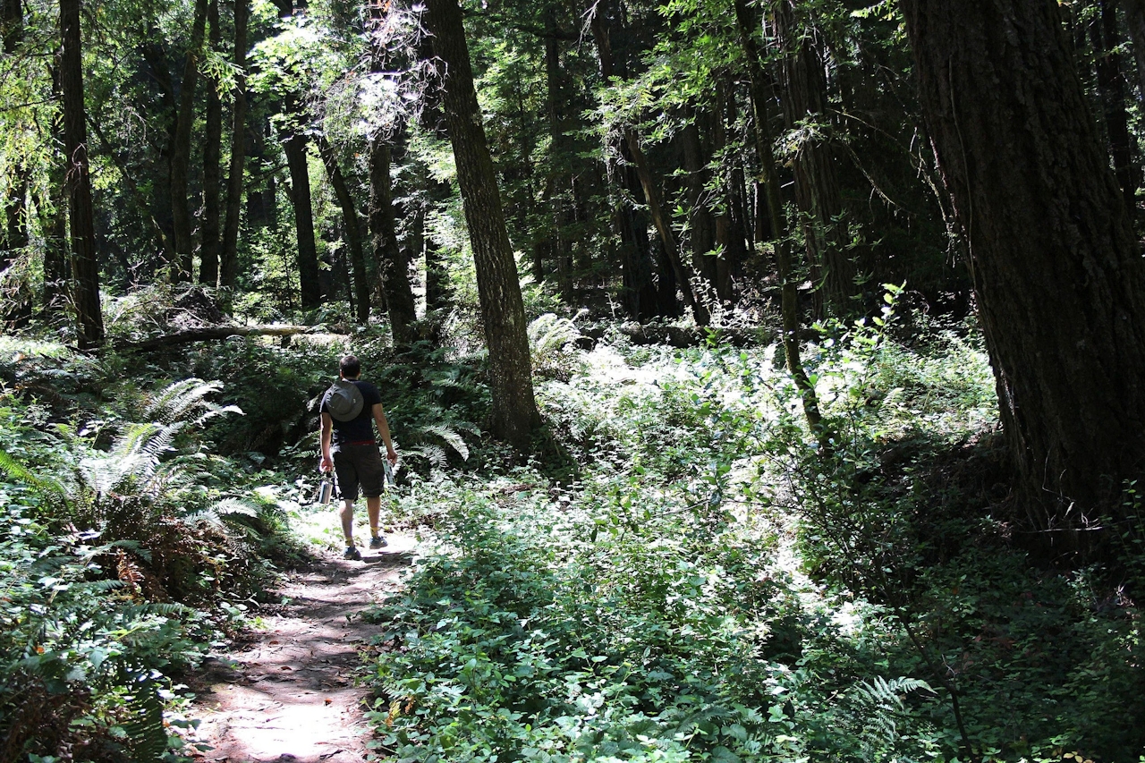
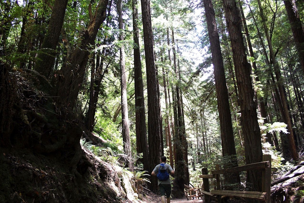
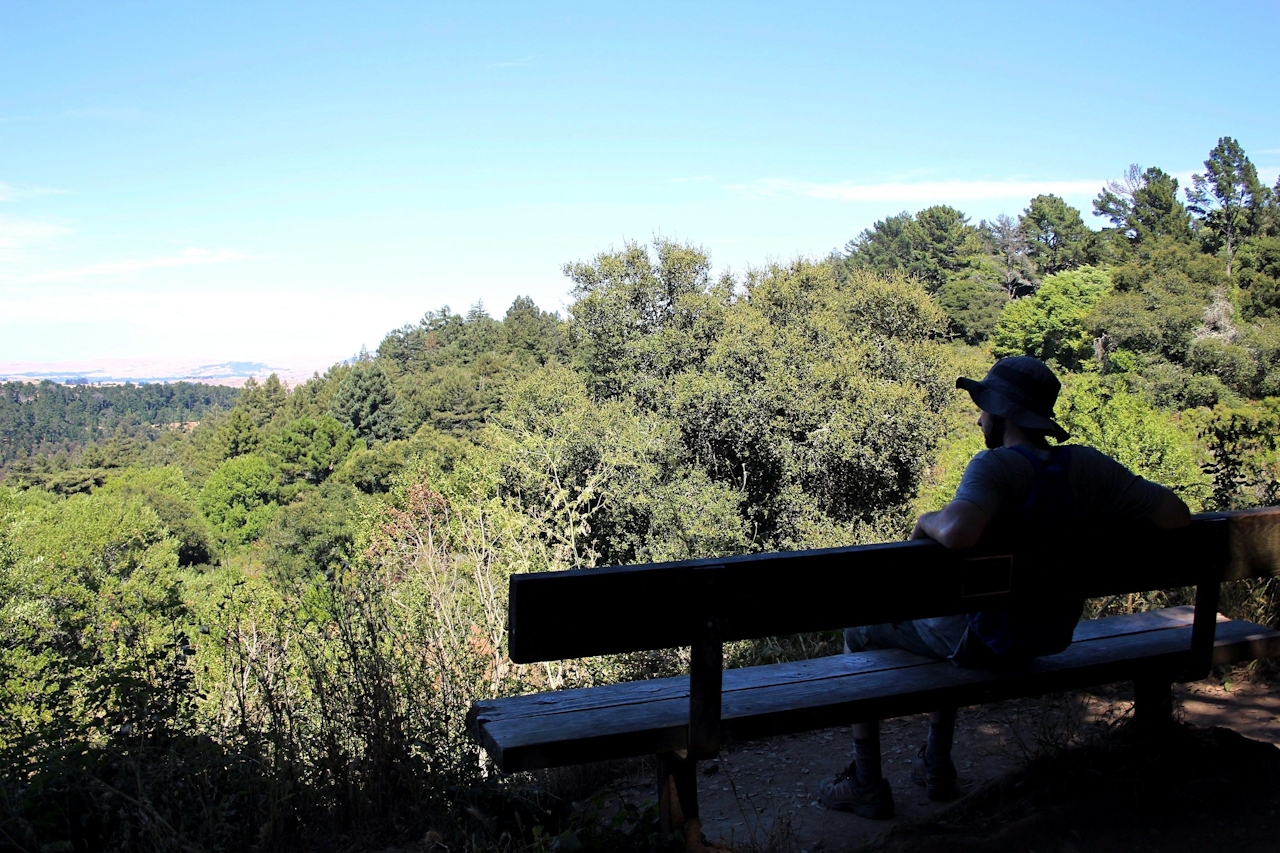

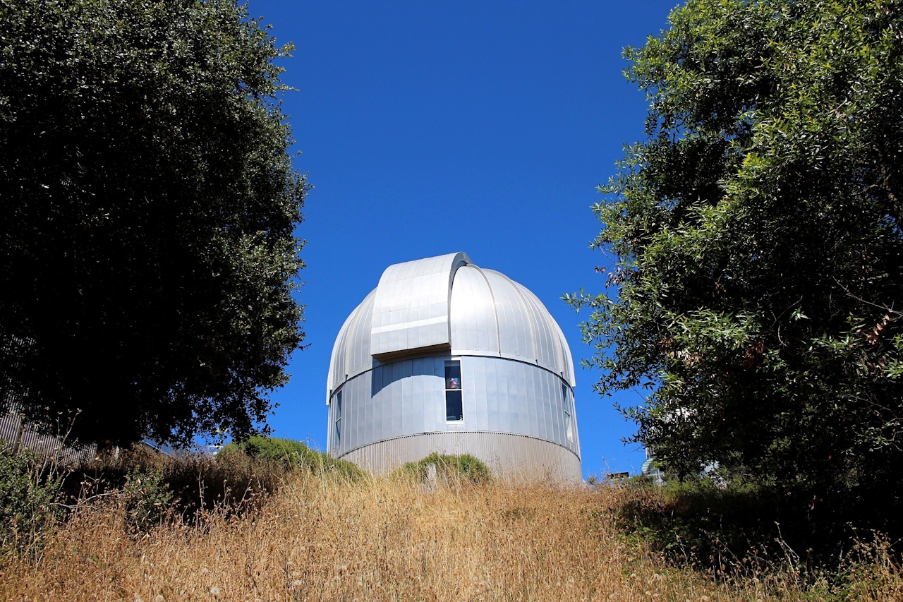
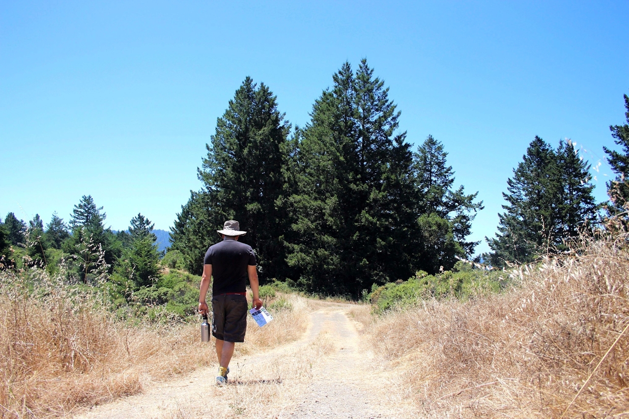
The steep climb up, surrounded by (you guessed it) ferns, is the most challenging part of this hike. At the junction with West Ridge Trail turn right. The top of this ridge gets sun soaked, with views stretching east, where on clear days you can see Mount Diablo. The trail eventually descends under the protection of oak and bay trees, passing the Chabot Space and Science Center en route to completing the loop.
From Hwy. 13 in Oakland, take the Redwood Rd. exit and go east (uphill). To reach Redwood Gate, the main entrance where you can pay your parking fee ($5), cross Skyline Blvd. at the top of the hill and continue for a little over one and a half miles. Redwood Gate will be to your left. To reach the Skyline Gate Staging Area from here, head back to Skyline Blvd. and turn right. Several miles farther along Skyline you will reach several entrances, such as Robert’s Redwood Bowl, Moon Gate Staging Area, and finally, the larger Skyline Gate Staging Area, where you can park. Dog-friendly ($2 fee).







